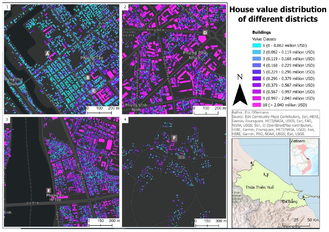
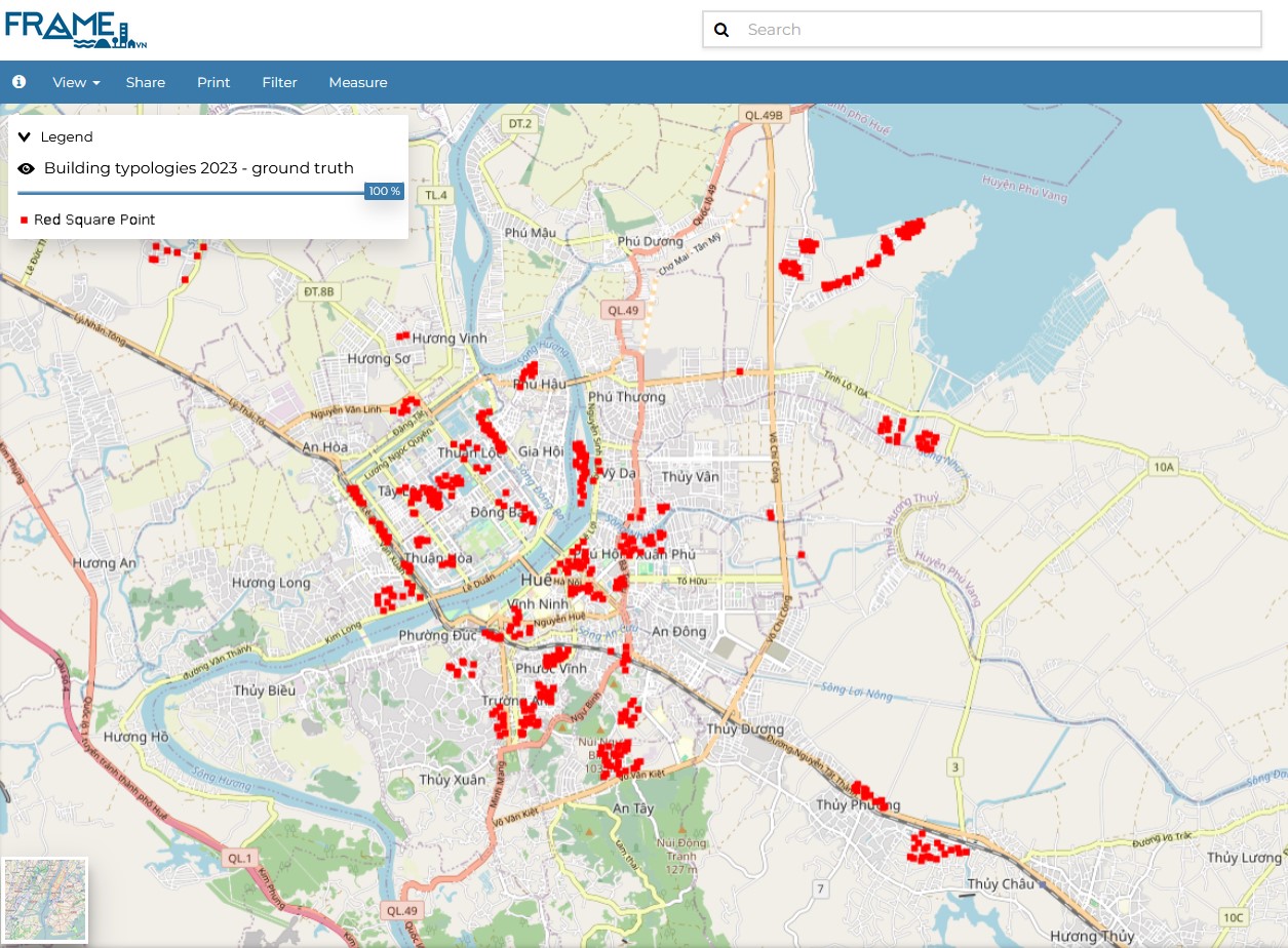
We recently completed a reference dataset of approximately 1,500 points, collected during two field campaigns in early 2023 and mid-2024, in collaboration with students from Tübingen and Hue Universities. The data collection focused on urban structure types, including building types, heights, materials, and other attributes. This dataset was used by a master’s student to train a machine learning model, incorporating OpenStreetMap data, accessibilities, remote sensing data, and socioeconomic information linked to building footprints. Investment rates from official planning documents were used to convert the reference data into US dollar values, allowing for the classification of all buildings in the province. This provides a straightforward method for estimating building values, aiding in flood damage assessment.
The resulting dataset is integrated into the FRAME system and offers valuable approximations for flood damage assessment. A publication detailing this work and its applications is currently in preparation.
Key Points:
- Completed a reference dataset of 1,500 points collected in 2023 and 2024.
- Data includes building types, heights, and materials, used to train a machine learning model.
- Converted reference data to US dollar values for building classification, aiding flood damage approximations.

Figure 1: Building asset values.

Figure 2: Reference points visualized in the FRAME system.