The European Copernicus Mission (operated by the European Space Agency - ESA) provides free satellite data for Earth observation, mapping and monitoring.
DLR and the University of Hue process microwave Sentinel-1 and multispectral Sentinel-2 images for flood mapping and land-use/land-cover assessment. The Sentinel satellites provide images with a high temporal repetition rate of 5-6 days.
Find out more about the ESA Sentinel missions here.
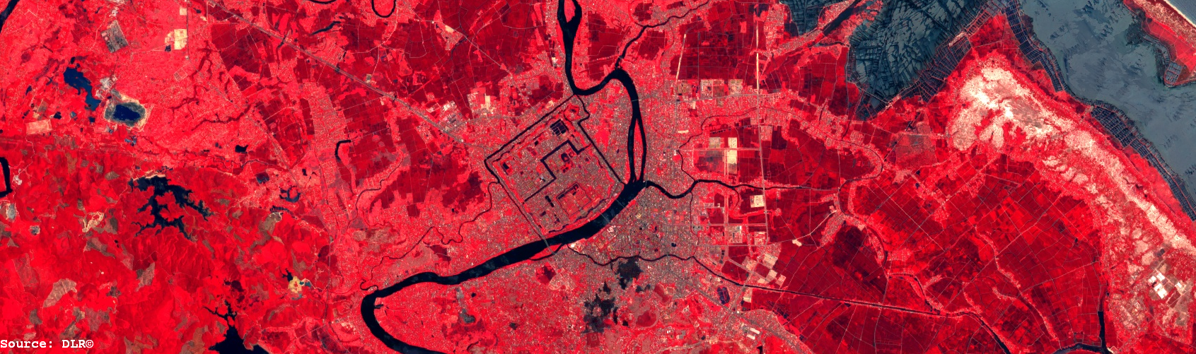
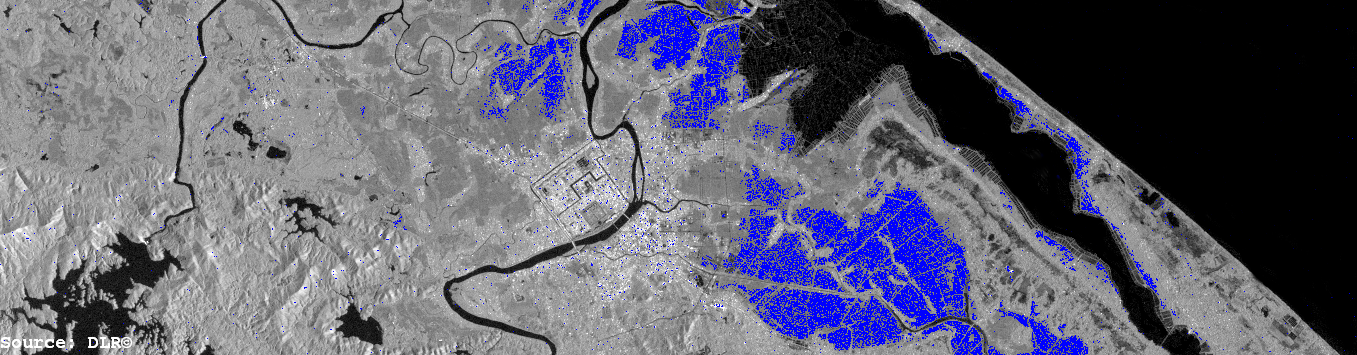
Figure: Two subsets of the Perfume River catchment with the City of Hue in the center. The first image is a false-color infrared image of the Sentinel-2 sensor. The second map is a preliminary flood map derived of Sentinel-1 radar images.